Dear Friends,
As you know, we have a special election tomorrow for Selectman, and as is now our custom, the Southborough Historical Society asks the candidates questions relevant to historical preservation in Southborough. Two responded: Sam Stivers and Doriann Jasinski.
NB: Tomorrow’s voting is at Trottier gym only.
Responses from Sam Stivers:
What is your position on the 61A parcel on Deerfoot Road? Should the voters be allowed to decide whether or not to acquire the parcel at town meeting?
Yes.
Would you support placing the decision on acquiring all future 61A parcels automatically in front of the voters?
I support the preservation of open space in the Town. I believe that there should be a process for consideration of all Chapter 61 parcels (including not just 61A parcels) when the Town has the option to exercise a Right of First Refusal (ROFR). This process could include the Open Space Preservation Commission (OSPC), the Planning Board, the Conservation Commission, the Historical Commission and other Town committees with interests related to this issue, to assess the value of such parcels and determine if the limited resources available for such purchases are aligned with the Town’s prioritization of available properties. In fact, such a process is in the final development stage by the “Chapter 61 Working Group”, and I support this. I do not support “automatic” Town Meeting consideration of purchase of such parcels, as the new Chapter 61 process will provide broadly based expert input to determine which possible acquisitions should go to the voters. Additionally, I support the preservation of open space in the Town via methods other than Chapter 61 ROFR—such as outright purchase of development rights as we did for the Chestnut Hill Farm. The challenge is to find ways to fund these acquisitions.
Study after study has shown that taxes on single family homes don’t cover their cost to the Town, and each new build actually contributes to higher rates for everyone. Given that, what would you propose to limit further development and increase the quality of life for current residents?
The Advisory Committee did such a study several years ago, confirming that additional residential development likely results in a net cost to the Town. Because development is largely controlled by the Town’s zoning bylaws (managed by the Planning Board), modification of the development process is something that starts with the Planning Board. I support a Planning Board initiative to update the zoning bylaws, which can address growth and other issues. The Selectmen can collaborate with the Planning Board on such an initiative. However, I do not support outright restricting or limiting development. We need to find a balance between preserving what we value in Town – open space and historic resources – while allowing appropriate new development for both residential and commercial uses at a scale and rate that the Town can support. Our Master Plan can provide guidance relative to these questions, and our Master Plan should be revisited and updated as necessary.
Additionally, the Selectmen can help manage the Town’s exposure to “unfriendly” 40B housing projects by smart planning to meet our Housing Plan objectives. Using funds in the Housing Trust Fund and CPA housing reserve accounts (which currently total over a half-million dollars) we can work with developers and/or nonprofits to create “neighborhood friendly” small-scale 40B housing projects so we can meet our housing obligations through a process the Town controls, instead of reacting to developer proposals.
If the majority of home-owners in a particular area of Town favored the creation of an historic district, would this have your support?
I support this concept. I would need to see the specific details before I can support a particular proposal. I strongly favor preserving the Town’s historical qualities that make us uniquely Southborough. That identity adds value to our homes, our community and our businesses.
What other ideas do you have to promote and protect the historic nature of Southborough?
As a Selectmen I will support the Historical Commission and the Planning Board as they develop a plan for historic preservation and priorities.
What plans might you suggest to revitalize the Main Street area economically and aesthetically once the road improvements are done?
The Town could consider creating a zoning overlay district to permit mixed-use structures in the downtown area. This could provide additional commercial/professional space as well as residential use. A key issue related to this process is transportation and parking. If we want to have more businesses and residential development in the downtown area we must consider parking. Towns with vibrant downtowns typically have municipal parking capacity out of the public view but within easy walking distance to downtown businesses. We need to address this issue as part of downtown development.
The Selectmen can also work with the Economic Development Committee to leverage the downtown development work they are doing.
Finally, with St. Mark’s School becoming an owner (through the Golf Course land arrangement) of property with frontage on Main Street, planning and coordination with St. Mark’s development plan is desirable.
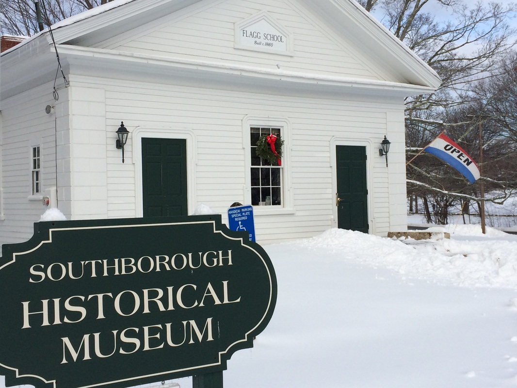
If plans were developed for a cultural corridor linking the Library, the Old Burial Ground, the Museum, the Town House, St Marks church and the cemetery, would you be generally supportive of such an idea?
I support of this concept. I would need to see the specific details of such a proposal before I can support a particular proposal.
The office of selectman is a low-paid, demanding, and time-consuming position, which often requires attendance not only at selectmen’s meetings, but also at meetings of other boards and committees. Recently, it has been noticed that a certain member of the Board has had an unusually high absentee rate, which obviously is not ideal. Are there any factors that would limit your commitment of time and energy to the Board of Selectmen?
No. My record of attendance at over 100 Town committee meetings each year demonstrates my commitment to devote the time necessary to fulfill my Town obligations. I will continue to devote the time to meet my responsibilities as a Selectman.
Responses from Doriann Jasinski:
What is your position on the 61A parcel on Deerfoot Road? Should the voters be allowed to decide whether to acquire the parcel at town meeting?
My position on the Deerfoot property is simply this: the voters should decide whether they want to purchase the property. I would also hope that the voters take into thoughtful consideration how the neighbors feel about the purchase by the Town.
Would you support placing the decision on acquiring all future 61A parcels automatically in front of voters?
I don’t believe that placing any restriction on future 61A properties is a good idea. I do believe that the taxpayers have the right to vote on whether they want to assume the tax liability for the purchases. The value of all 61A properties are not the same and need to be looked at on an individual basis.
Study after study has shown that taxes on single family homes don’t cover their cost to the Town and each new build contributes to higher taxes for everyone. Given that, what would you propose to limit further development and increase the quality of life for current residents?
I would not limit development for several reasons. First, development helps us meet our future needs as a community. It provides jobs which help boost our economy. Property owners have the right to develop their land as they wish, providing they follow our town by-laws. I am against taking away property owner rights or stopping development.
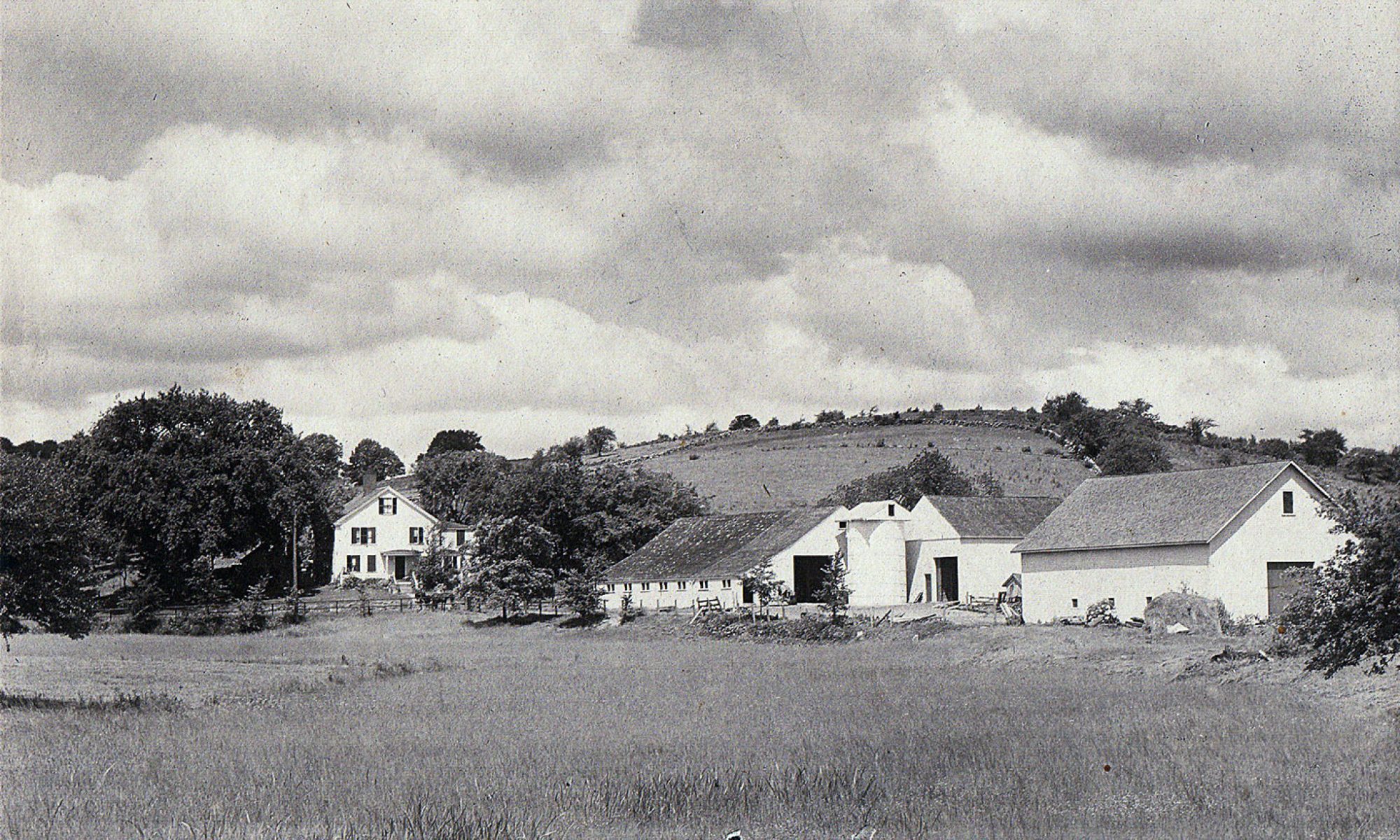
Southborough loves its Open Space. One way to increase the quality of life for current residents is to value our Open Space. Communities need open space to provide passive recreational areas such as walking trails. I am in favor of protecting our Open Space and purchasing more as time goes on to help enhance the charm and character of our Town. Our Open Space Commission is a very productive group of individuals who have a prioritized list of parcels for future purchases which would enhance our community.
If the majority of home owners in a particular area of town favored the creation of an historic district, would this have your support?
I would absolutely be in favor in the creation of a historic district in our Town.
What other ideas do you have to promote and protect the historic nature of Southborough?
First, I believe we need to educate the residents about the rich history of our Town. Many people don’t know the history of Southborough. When we were considering the details of the Burnett House purchase, that is when the history was given. I would suggest having an annual town wide get together to promote the rich history of Southborough. Having interactive games and maybe have the children do a play of some sort would make it fun for people of all ages to attend.
What plans might you suggest to revitalize the Main Street area economically and aesthetically once the road improvements are done?
We do need to revitalize our downtown to help promote business for the existing businesses there. The Economic Development Committee just completed a survey to ask people what they wanted in their downtown area. The results are detailed as listed below:
90% want more restaurants; 67% want more retail shops. Aesthetics are important and the Downtown “feel” is essential. Historic buildings, signage and markers are highly valued. People want more “public spaces”.
Personally, I would agree that all the above are important and needs a closer look at how to get this done without a major impact on all our taxes. Better landscaping, benches, adding flowers and containers with plantings is also an idea to add charm to the downtown. The Southborough Gardeners may be able to help with this idea.
If plans were developed for a cultural corridor linking the Library, the Old Burial Ground, the Museum, the Town House, St Marks Church and the Cemetery, would you be generally supportive of such an idea?
Yes, I would be supportive of that idea. The area is such an important piece of “Southborough Charm” which we all love and appreciate.
The Office of Selectmen is a low-paid, demanding and time-consuming position, which often requires attendance not only at Selectmen’s meetings, but also at meetings of other boards and committees. Recently, it has been noticed that a certain member of the Board has had an unusually high absentee rate, which obviously is not ideal. Are there any factors that would limit your commitment of time and energy to the Board of Selectmen?
I have both the time and the energy to get the job done. I can’t speak for other members of the Board, but I personally have attended the Selectmen’s meetings, a few Conservation, Planning Board, Zoning Board, Personnel Board, Personnel Board Working Group, Public Safety Building, Golf meetings (just to name a few!)
There are no factors which limit my commitment to getting the job done.