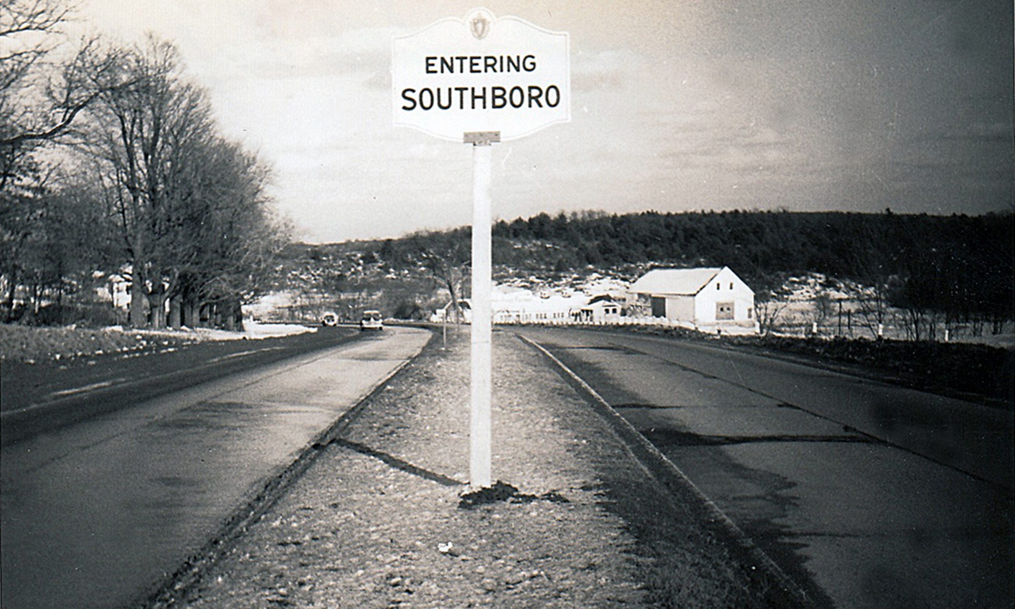
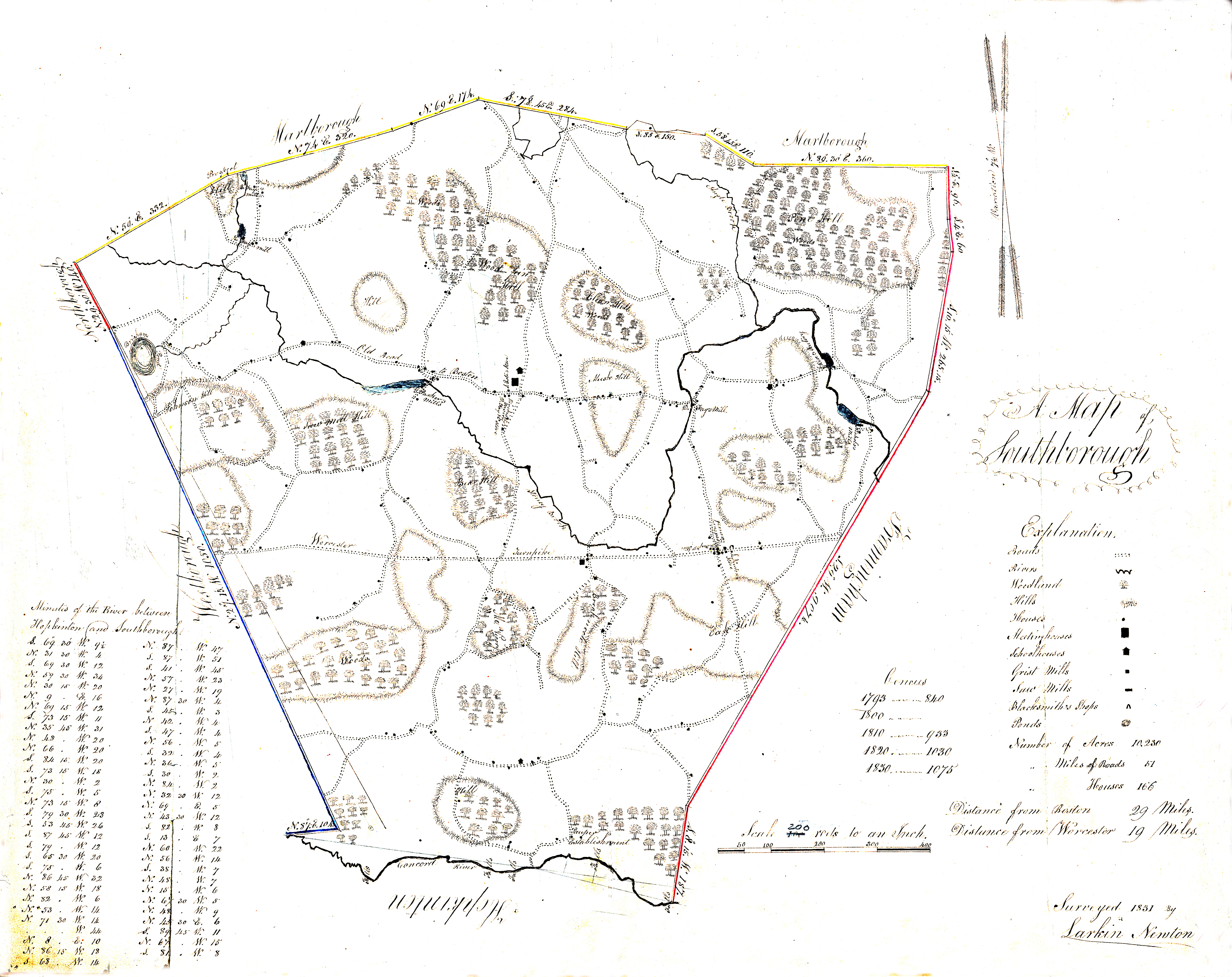
As we’ve been sorting through the Society’s collections, duplicates keep appearing again and again, and one of most notorious repeat offenders was the map above, an 1831 version drawn by Southborough’s own Larkin Newton, whose mathematical schoolbooks are coincidentally part of our holdings. But the funny thing was, all the examples I found were poor photo-copies. So into the recycling here, into the recycling there. But where, oh where was the original? As the end of the bulk sorting loomed, I became a bit panicked. Had we lost an 1831 map somewhere amidst the hundreds of cardboard boxes?
It turns out we had not, because we never had the original in the first place. (Whew!) In fact, the map forms part of the Massachusetts State Archives, and our bad copies were just that, copies. However the folks in Boston were kind enough to supply a digital version, which we have substantially cleaned up and enhanced for your viewing. For the very first time it is presented here, online.
Of the many fascinating things about this map, the tree indications are perhaps the most strange to modern eyes. Living in today’s Southborough crowded with woods and houses, it seems almost impossible to imagine the vast open spaces that this map indicates, but open they were. By the 1830s, Massachusetts had been largely deforested through settlement and agriculture, and trees for timber and heating were becoming increasingly hard to find. Thus, the wooded crests of the hills shown on the map were carefully tended as woodlots, and wood ashes, critical to the soap-making process, were a highly guarded commodity. According to this map, you could have stood in front of Pilgrim Church (or better yet, climbed its steeple) and seen for miles around. And it’s true, as this very early (1850s) photograph attests:
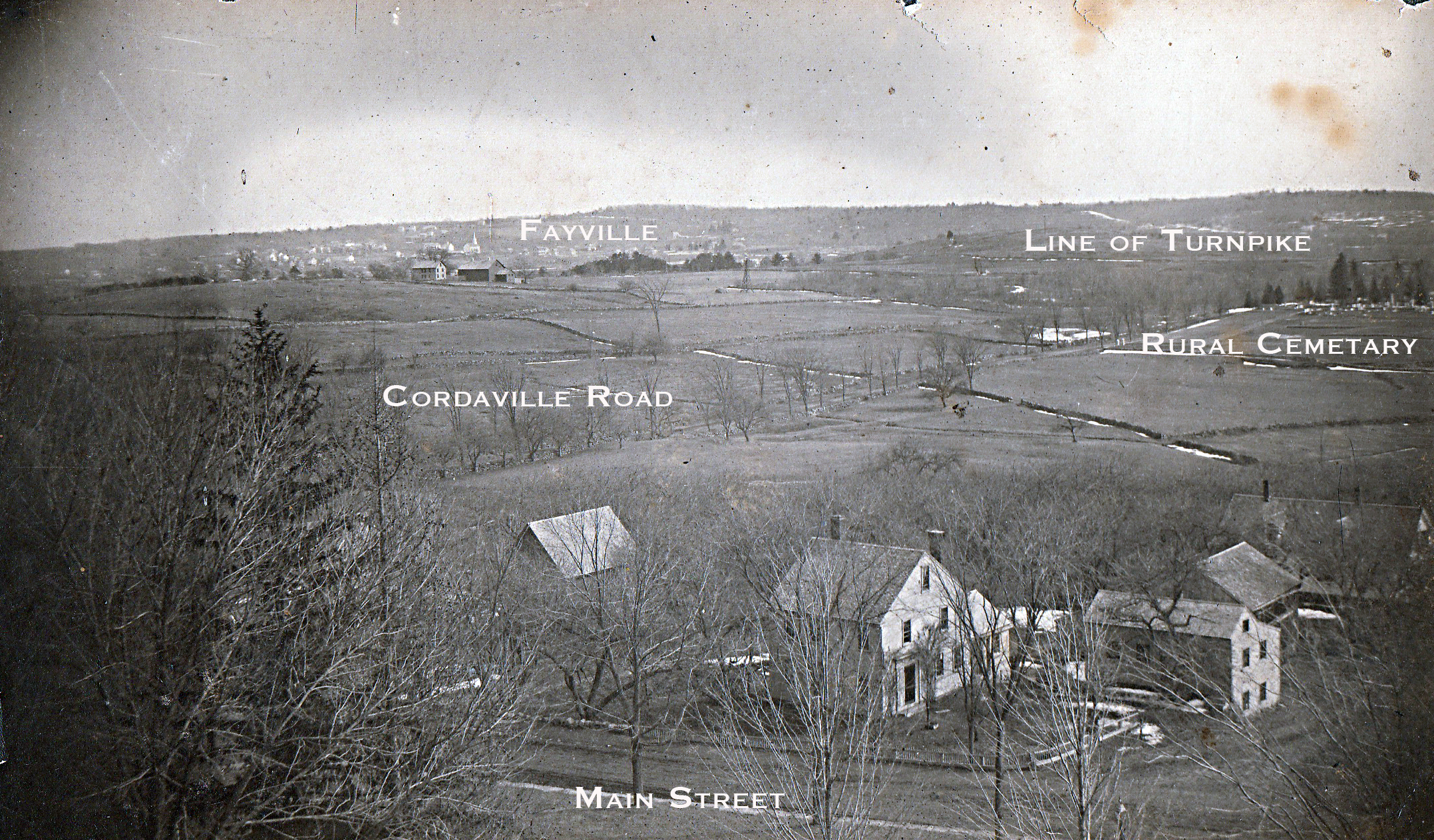
If you’ve ever been in the southern part of England and looked down from those gentle hills upon the magical patchwork of villages and farms, then you know what Southborough of the period must have been like, and why it was called “the most English of all New England towns.”
Unfortunately, due to poor planning and developer-biased zoning, most of these wonderful agricultural vistas were largely lost by the 1980s, and the incredible reforestation that has occurred has closed in the remainder. But there are still a few places you can catch a hint of these once glorious views, at the Breakneck Hill and Chestnut Hill Farm Conservation lands, for example. And if these inspire you — and how can they not — we hope you will stand with the Southborough Historical Society as well as the Historical Commission as we work to ensure that all remaining agricultural parcels that come out of 61A protection get a Town Meeting vote before being sold. We just lost another 30-acre parcel this past winter as 135 Deerfoot was sold to developer Brendan Homes, which has since applied for permission to demolish the historic 1870 house and barn. Result: more houses, more traffic, higher taxes, another lost vista.
When are we going to say: Enough is enough?
Enough really is ENOUGH. As many people realize the value of old fashioned” practices such as having their own chickens and growing their own organic vegetables, it’s time to also value the preservation of the few historic homes and land that is left….
It is incredibly sad at what we have lost and even sadder that we are continuing to lose what little remains!
and what had Brendan Homes assured the neighbors of 135 Deerfoot Rd?