Lost Southborough
Nichols Mill
Main Street Cordaville
White's Corder
White's Corner
The Cordaville Mills
"The Square" Southborough
Johnson Farm, Haying in the 1960s
Johnson Farm, Ward Road, 1960s
Southborough Station
The Artemas Ward House
Southborough Station
Fayville Station
Southville Station
Route 85 Looking North from the Library
Cordaville Road
Cordaville Station
-
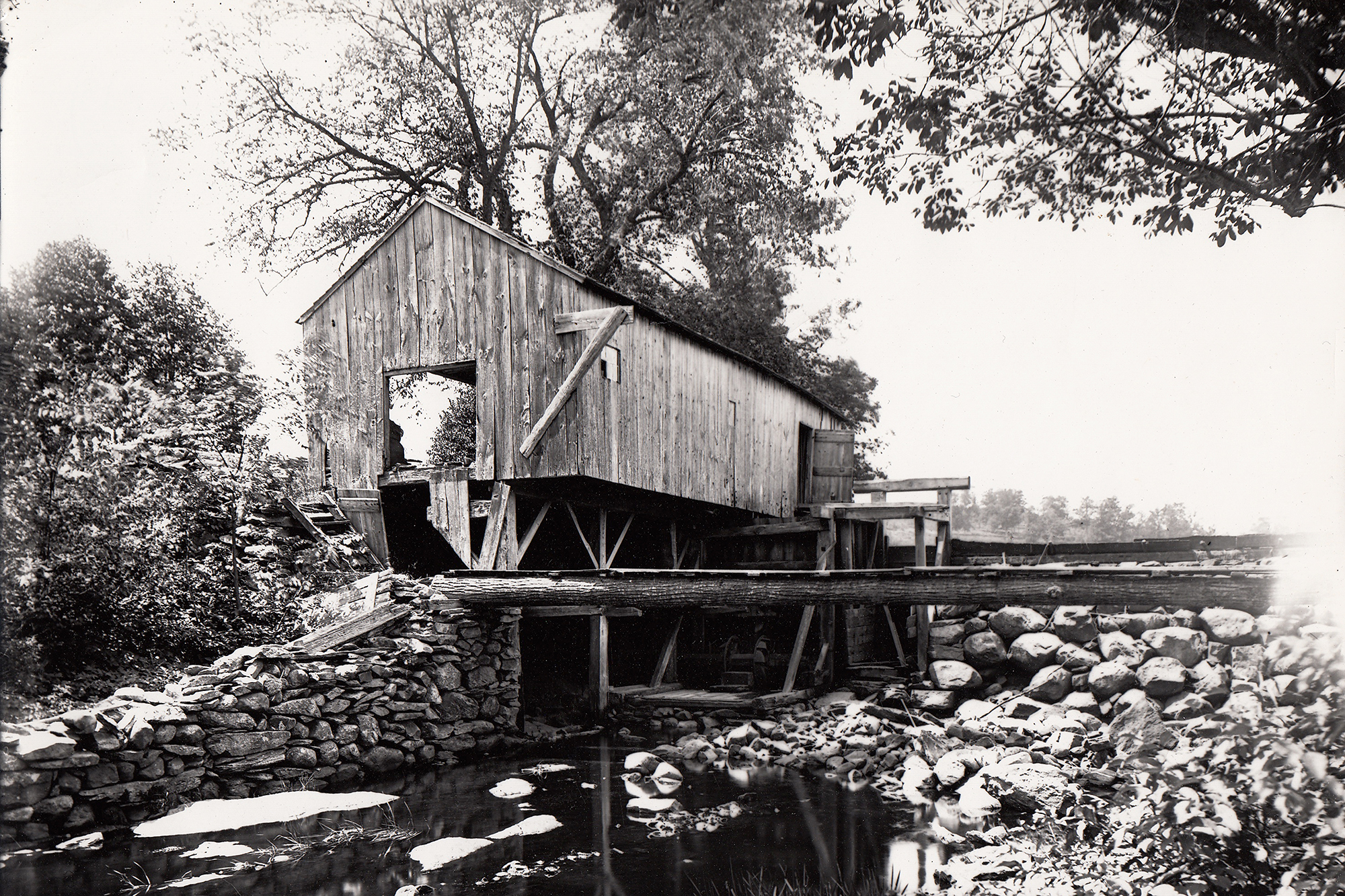
Nichols Mill
This famous sawmill stood just about where the Fayville Dam now stands.
-
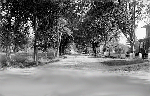
Main Street Cordaville
An almost unbelievably open and bucolic Southville Road
-
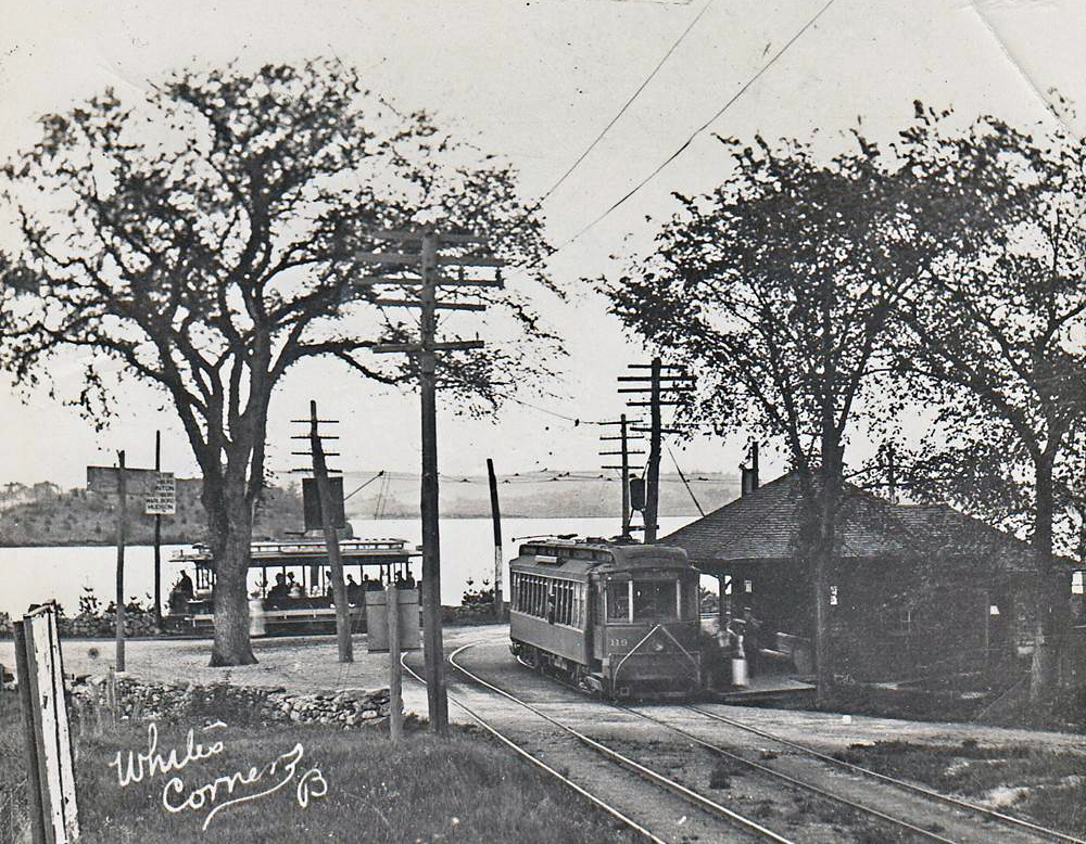
White's Corder
White's Corner, where the Starbucks now stands, was an important stop on the Boston and Worcester trolley line. From here you could take the line over the causeway to Marlborough and Hudson. The tracks were ripped out and sold for scrap during WWII.
-
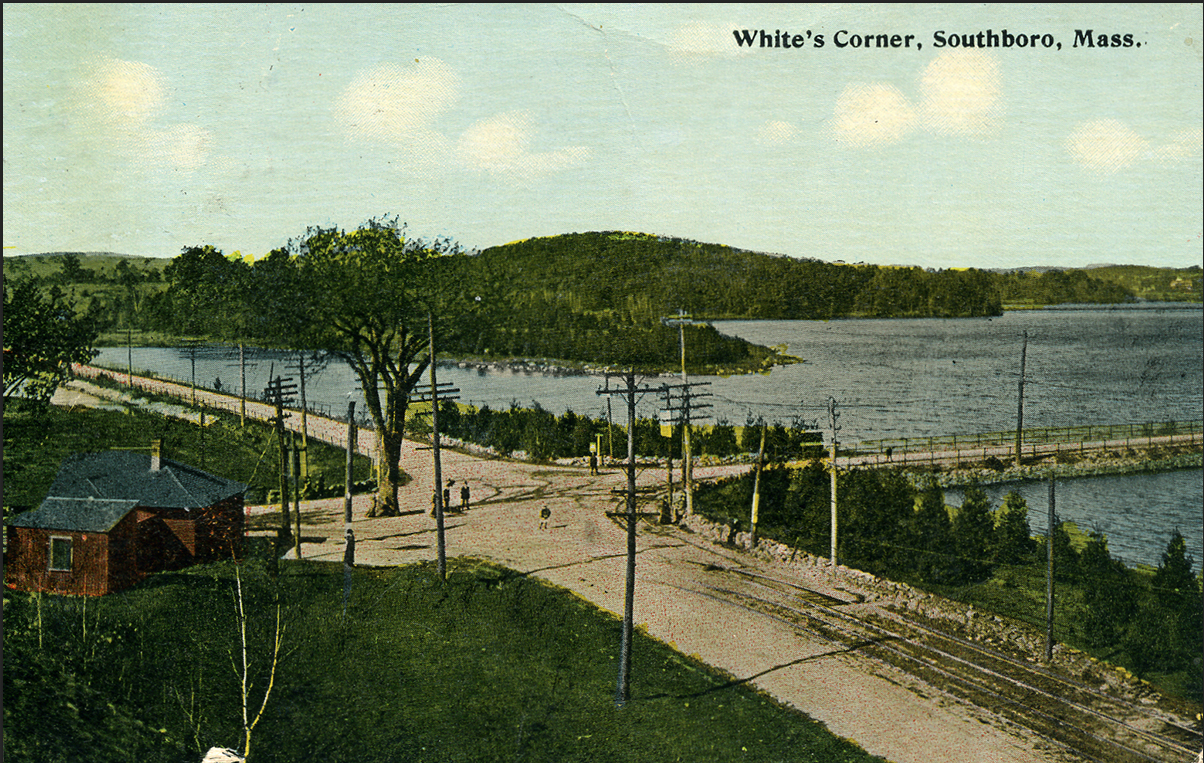
White's Corner
Another view of the trolley stop
-
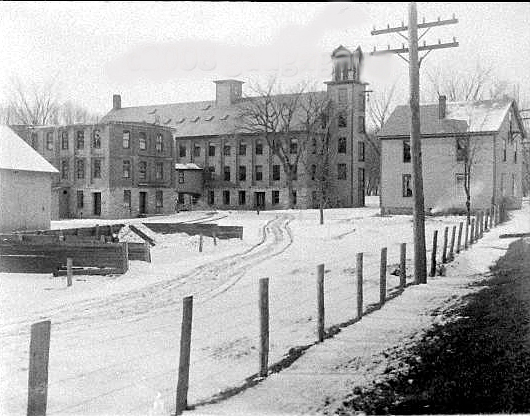
The Cordaville Mills
These mill buildings, built 1860-1900, stood where the MBTA parking lot is now located. They were intact until the 1970s until the Town authorities condemned them and sold off the bricks. One can only imagine how wonderful it would be to have these buildings today as mixed residential/commercial units.
-
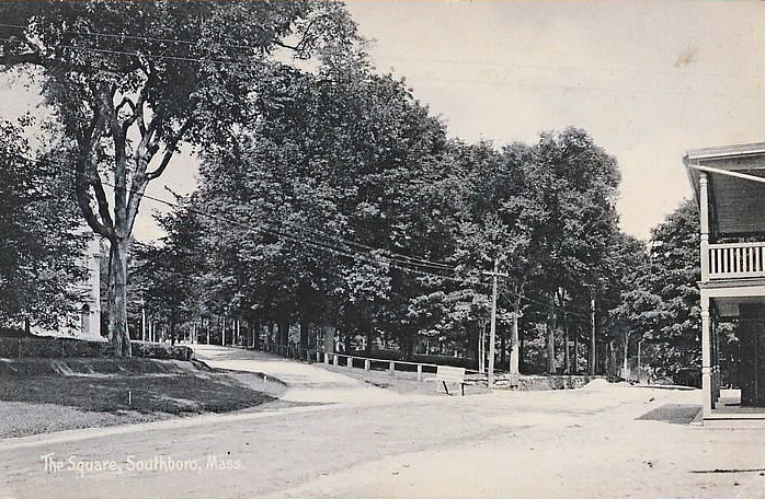
"The Square" Southborough
You don't usually associate a "square" with Southborough, but obviously residents in the 1880's and 90s did. This This was the view from the Centre Store with the porch of the Winchester Tavern just visible at the right and St Marks church just visible at the left. The Fay school demolished both the Tavern and the store in the 70s to build their dining hall. The Library now sits on part of the Square land.
-
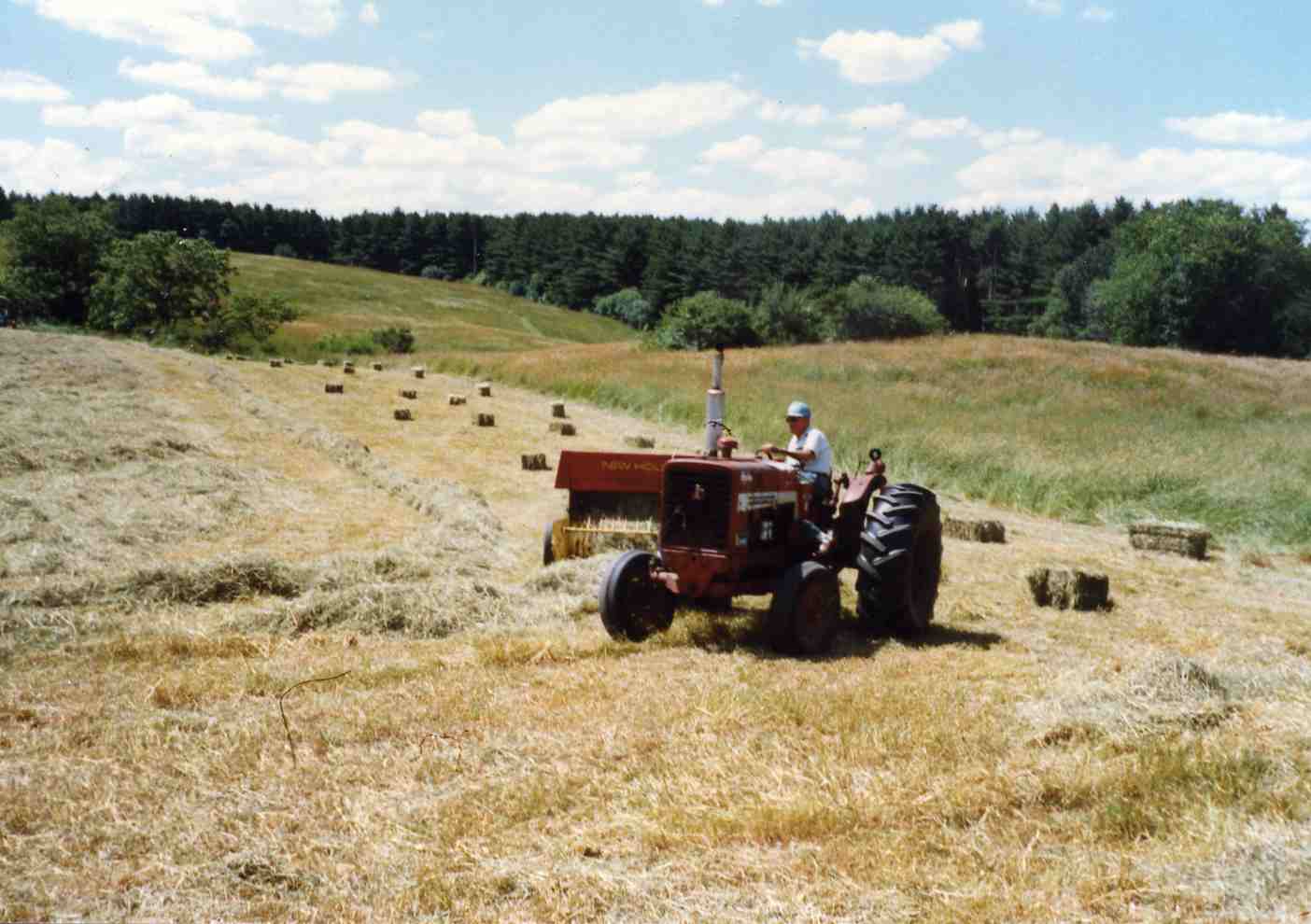
Johnson Farm, Haying in the 1960s
The Johnson farm on Ward Road gives a good idea of what most of outlying Southborough looked like until fairly recently. 495 now passes through the site, and the farm fields are all housing.
-
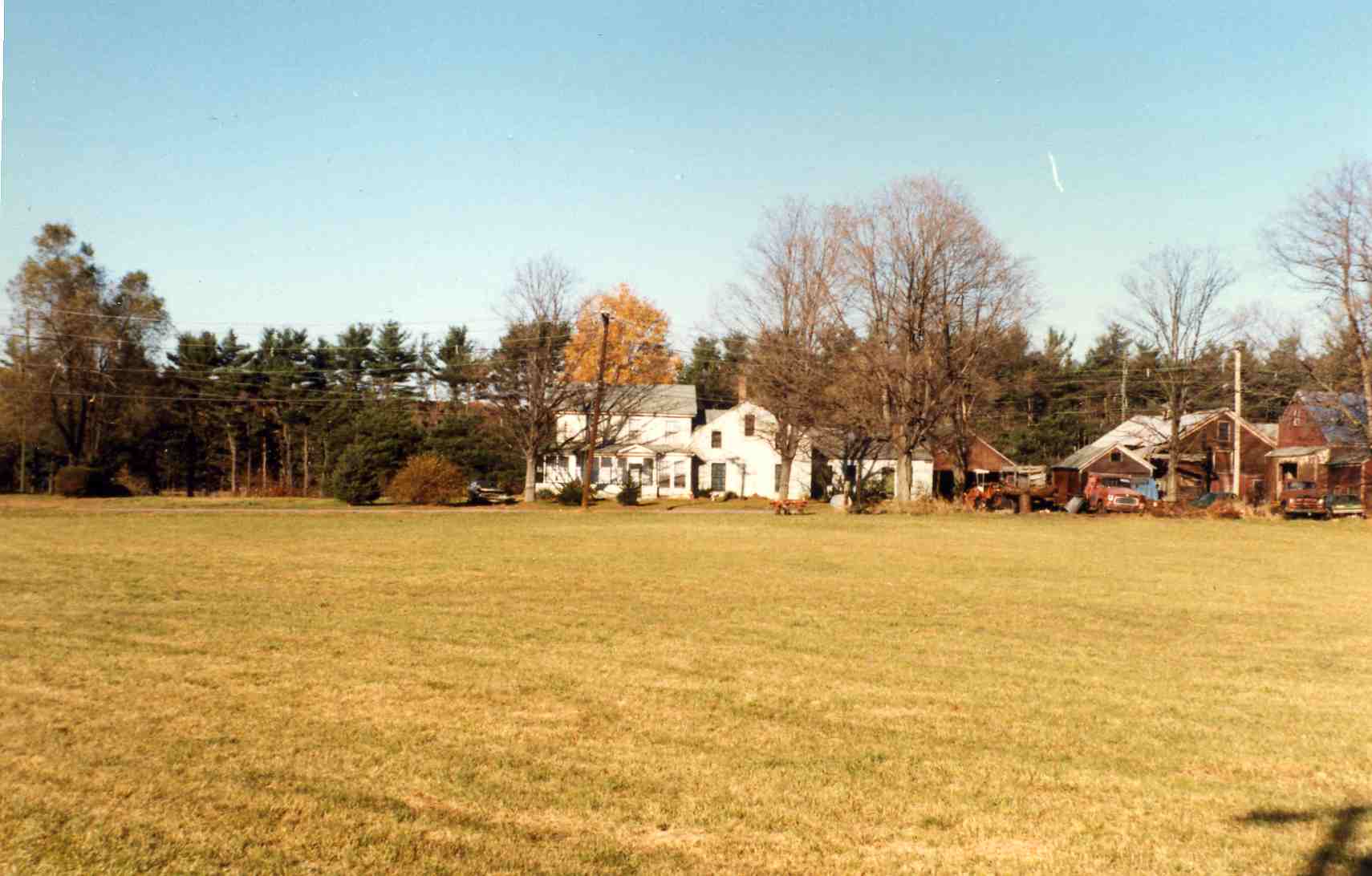
Johnson Farm, Ward Road, 1960s
-
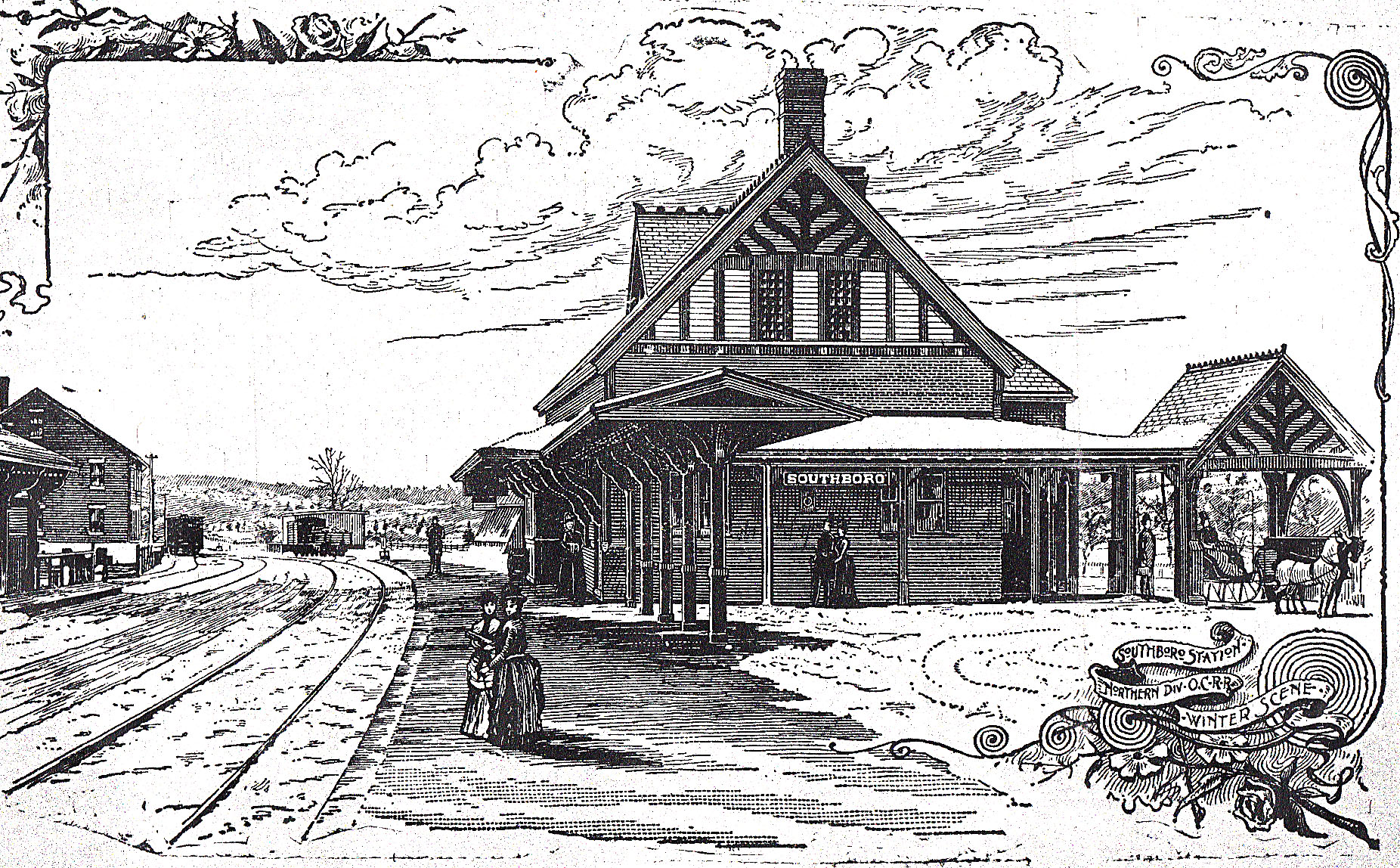
Southborough Station
A winter view of Southborough Center's station. Note the waiting sleigh
-
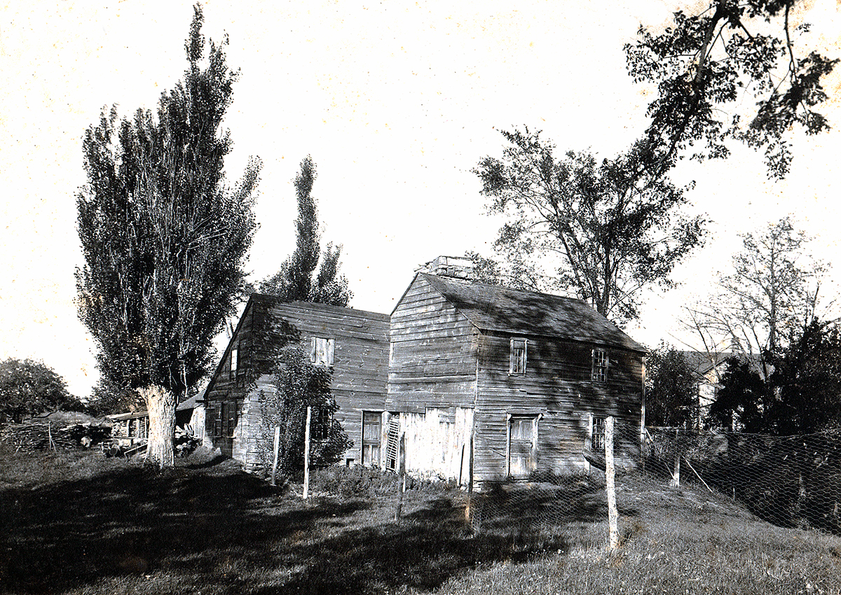
The Artemas Ward House
This early 18th century home ended its life as a chicken coop and was torn down in the early 1900s
-
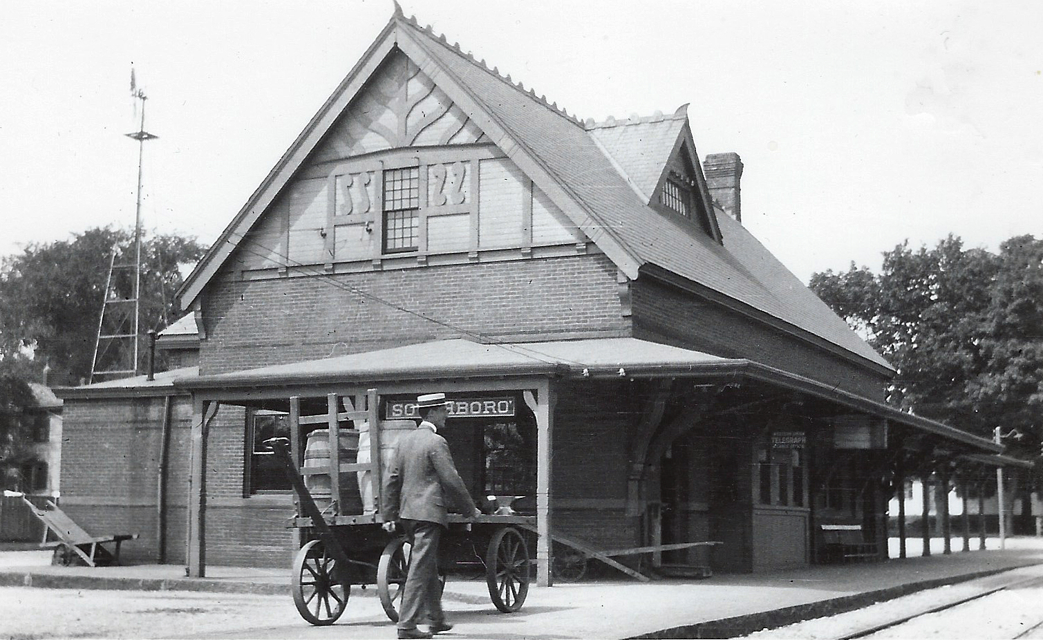
Southborough Station
-
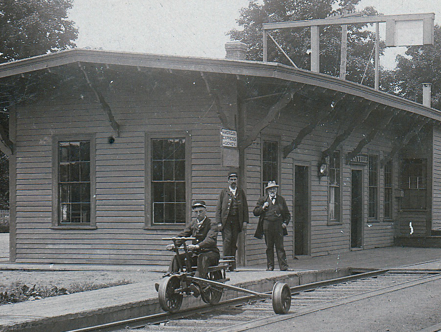
Fayville Station
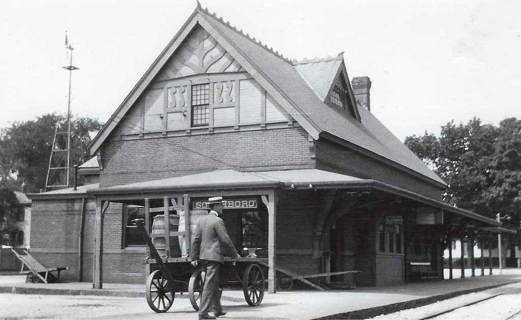
While most towns around preserved their railroad heritage, Southborough allowed all four of its railroad stations to be destroyed by developers.
-
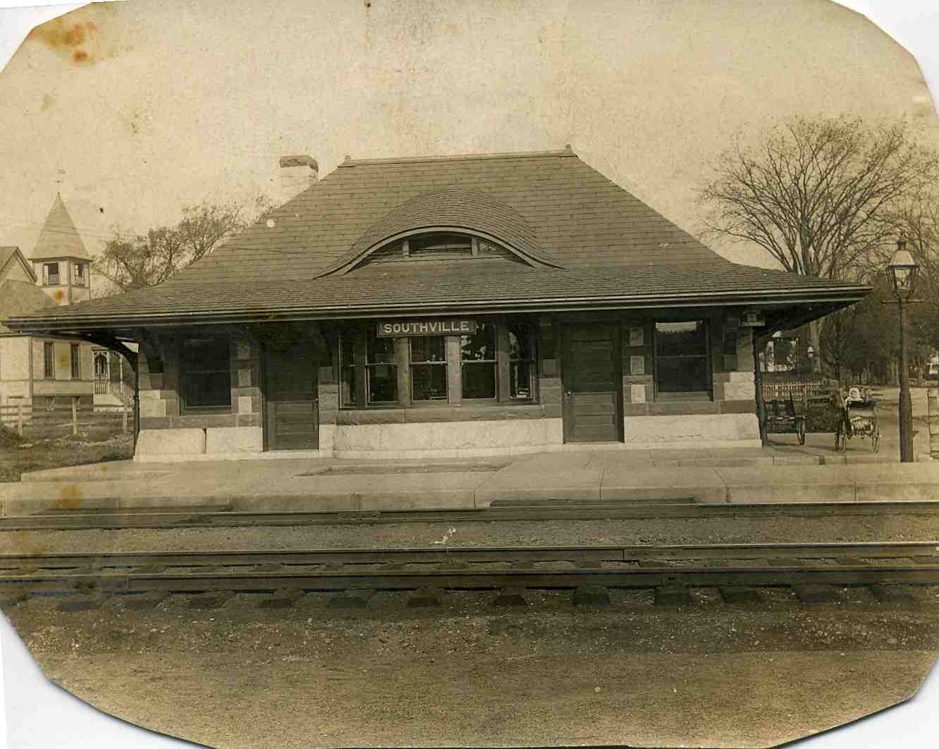
Southville Station
The almost twin of the station in Cordaville, this too was razed in the 70s.
-
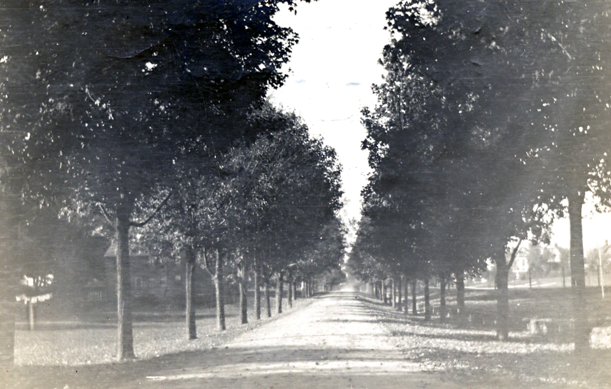
Route 85 Looking North from the Library
-
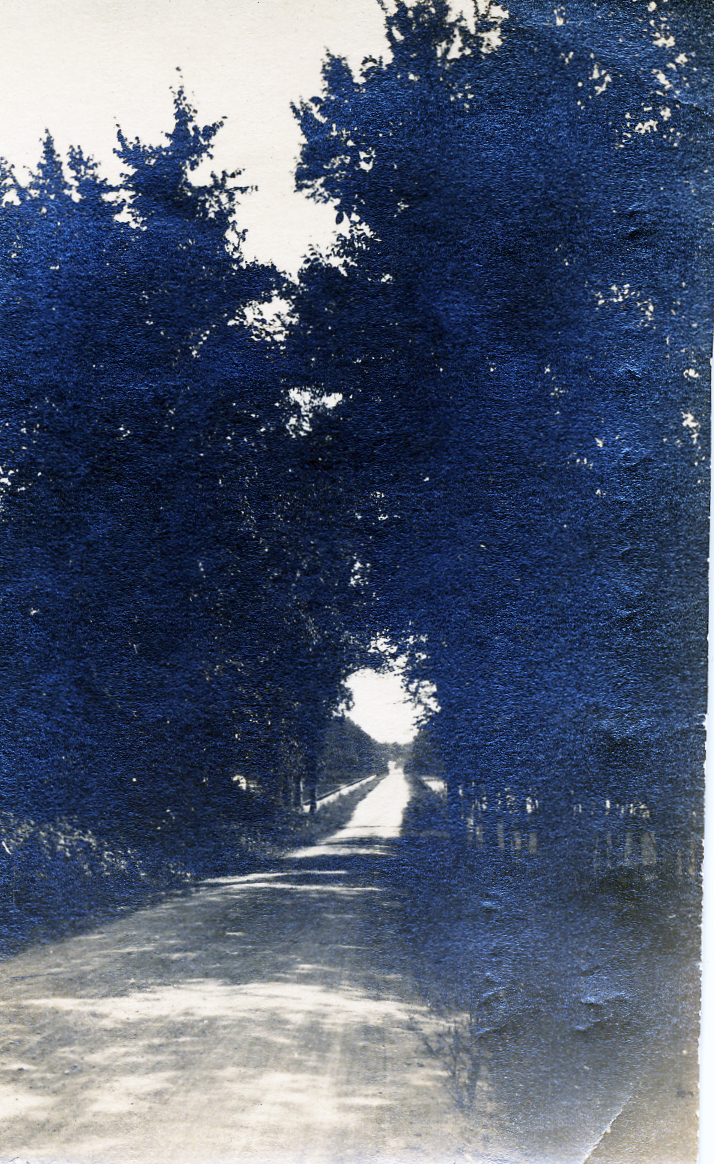
Cordaville Road
Looking South from the cemetary
-
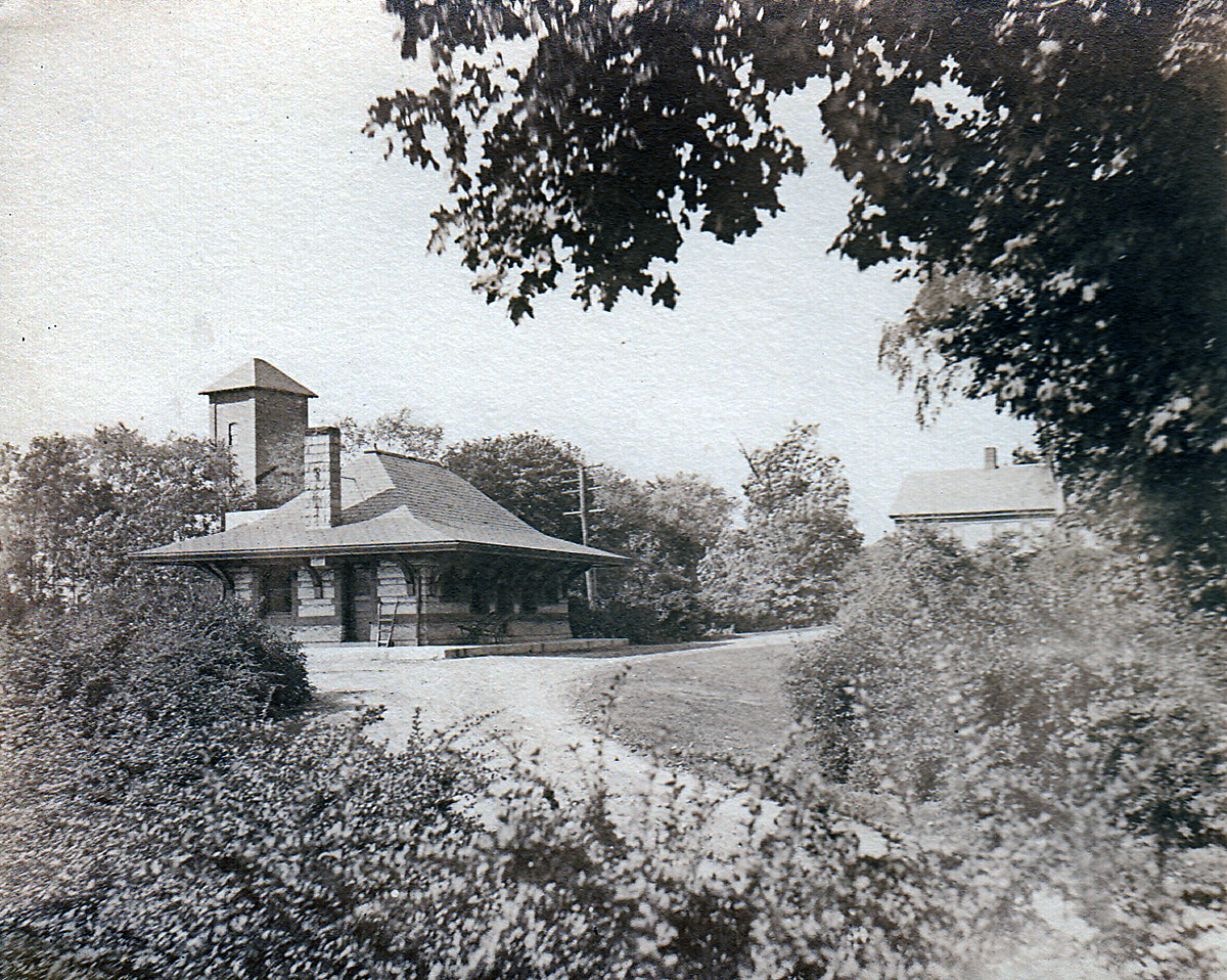
Cordaville Station
This H.H Richardson inspired building is here seen from the north, with the Cordaville Mills in the background. Both were victims of the 1970s. They were raised and sold for building materials.
Nichols Mill
Main Street Cordaville
White's Corder
White's Corner
The Cordaville Mills
"The Square" Southborough
Johnson Farm, Haying in the 1960s
Johnson Farm, Ward Road, 1960s
Southborough Station
The Artemas Ward House
Southborough Station
Fayville Station
Southville Station
Route 85 Looking North from the Library
Cordaville Road
Cordaville Station

Nichols Mill
This famous sawmill stood just about where the Fayville Dam now stands.

Main Street Cordaville
An almost unbelievably open and bucolic Southville Road

White's Corder
White's Corner, where the Starbucks now stands, was an important stop on the Boston and Worcester trolley line. From here you could take the line over the causeway to Marlborough and Hudson. The tracks were ripped out and sold for scrap during WWII.

White's Corner
Another view of the trolley stop

The Cordaville Mills
These mill buildings, built 1860-1900, stood where the MBTA parking lot is now located. They were intact until the 1970s until the Town authorities condemned them and sold off the bricks. One can only imagine how wonderful it would be to have these buildings today as mixed residential/commercial units.

"The Square" Southborough
You don't usually associate a "square" with Southborough, but obviously residents in the 1880's and 90s did. This This was the view from the Centre Store with the porch of the Winchester Tavern just visible at the right and St Marks church just visible at the left. The Fay school demolished both the Tavern and the store in the 70s to build their dining hall. The Library now sits on part of the Square land.

Johnson Farm, Haying in the 1960s
The Johnson farm on Ward Road gives a good idea of what most of outlying Southborough looked like until fairly recently. 495 now passes through the site, and the farm fields are all housing.

Johnson Farm, Ward Road, 1960s

Southborough Station
A winter view of Southborough Center's station. Note the waiting sleigh

The Artemas Ward House
This early 18th century home ended its life as a chicken coop and was torn down in the early 1900s

Southborough Station

Fayville Station
While most towns around preserved their railroad heritage, Southborough allowed all four of its railroad stations to be destroyed by developers.

Southville Station
The almost twin of the station in Cordaville, this too was razed in the 70s.

Route 85 Looking North from the Library

Cordaville Road
Looking South from the cemetary

Cordaville Station
This H.H Richardson inspired building is here seen from the north, with the Cordaville Mills in the background. Both were victims of the 1970s. They were raised and sold for building materials.
